Capture Services
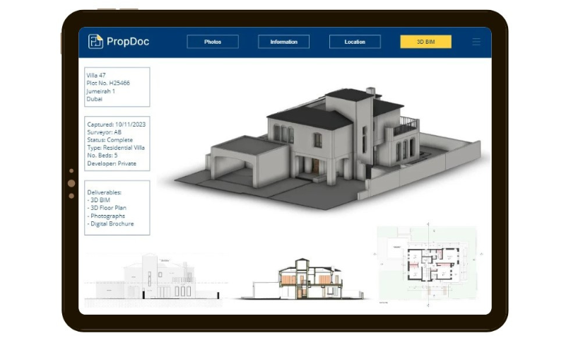
PropDoc is digitizing the physical world using a turnkey scan-to-BIM solution. With LiDAR scanners, our Digital Surveyors capture the property and produce BIM models to any level of detail required.
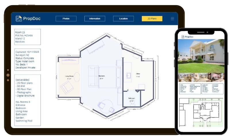
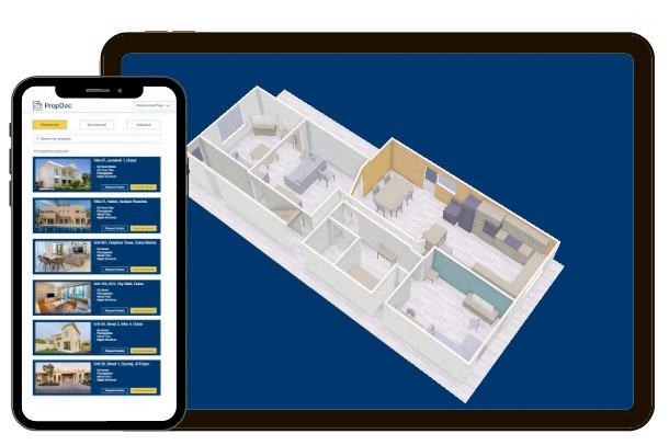
No more relying on tape measures and disto’s. Forget about human error and manual drafting of plans! With one capture, we scan millions of data points using LiDAR technology to produce floor plans with dimensions in a fraction of the time.
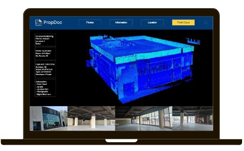
We capture using a range of LiDAR scanners and deliver point cloud data in a variety of formats & densities. Our Digital Surveyors can capture from the ground and air. PropDoc offers a turnkey solution to convert heavy point cloud data into simple 2D & 3D assets. If you prefer to handle the data we can capture-as-a-service on your behalf.
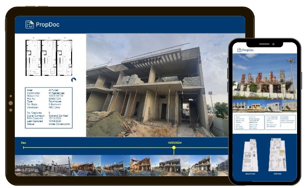
Visually track the progress of a construction or fit-out project with PropDoc’s capture & reporting solution. PropDoc conducts periodic site visits, documenting the progress and displaying via an online report for audit purposes.
PropDoc offers a turnkey capture-as-a-service & digital reporting solution.
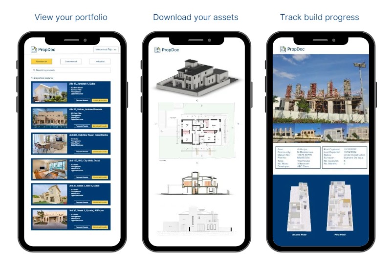
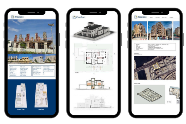
We create a white-labeled digital webpage to report each property that can be easily shared.Login to your account and access your portfolio of digital brochure pages.
We create a white-labeled
digital brochure to market
each property that can be
easily shared.
Login to your PropDoc
account and access your
portfolio of digital brochure
pages. Off-plan and
secondary market options
available.
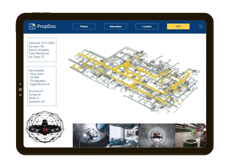
Now you have the skin of the building (3D model), but what about the arteries & veins?Use our unique solutions to capture the mechanical, electrical and plumbing or provide us with the drawings and we model the MEP into your BIM model.
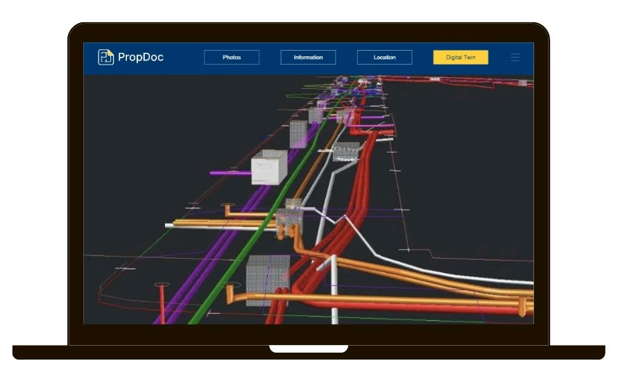
Map the underground utilities of a site using GPR technology. Suitable applications include identifying the location and avoiding damages of existing utilities. For new infrastructure we can capture during the construction process to future-proof your assets.
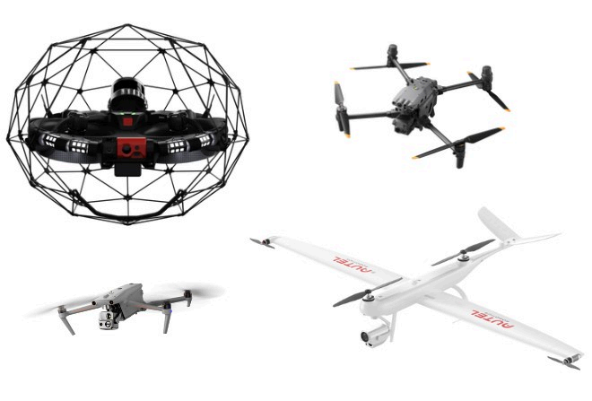
DroneDoc specializes in a variety of drone surveys from asset inspections to surveying mountains to capturing dangerous areas. We’re the first MENA company to combine ground and air! To learn more, visit dronedoc.co
Digital Services
We create a white-labeled
digital brochure to market
each property that can be
easily shared.
Login to your PropDoc
account and access your
portfolio of digital brochure
pages. Off-plan and
secondary market options
available.
Off-plan and secondary
market options available.
Are you looking for a digital
solution to quickly manage
assets and share information
from anywhere?
You have the freedom to
upload data yourself
whenever you like or PropDoc
can take care of it all.
Track the progress of the build
with our digital reporting
solution. We visit the project
as often as required and
upload the time-stamped
footage for you to view
anytime & anywhere.
Login and view the progress
remotely. Share the results
with others involved in the
project.
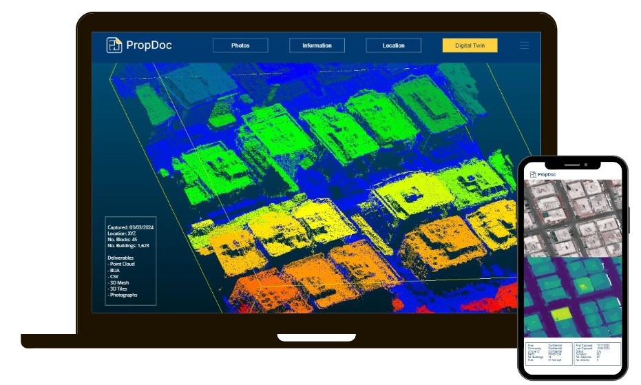
Do you need to know the
built-up area of an entire city?
Or a sub-community or just a
specific building?
PropDoc has developed an
innovative solution using
computer vision and machine
learning.
Using drone or satellite
footage, our solution
automatically segments each
building and calculates the
built-up area of each building.
PropDoc scans the building,
and the software flags
possible defects and creates a
bespoke report.
Identify defects both
externally and internally.
PropDoc is using innovative
technologies to build solutions
for the property sector.
Smart buildings are generating big savings and increasing property values. Take our 3D models and integrate them with digital twin capabilities. BIM is only the beginning for digital twins. Adopting sensors and using software you can track and control your building's digital twin remotely. Contact us to find out more.
