about us
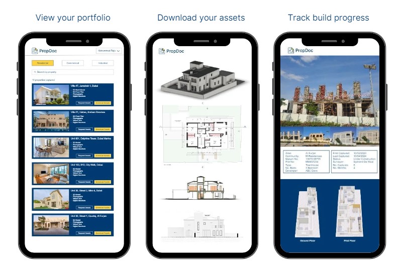
PropDoc is the verification layer for real estate and the AEC industry. We help consultants, landlords, developers, contractors and asset managers to bring properties online and document your portfolio of assets.
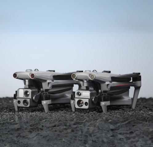
We capture using innovative technologies on site & in the office. We’re the region’s first to capture from the land, sky and sea!
We capture millions of points of data from each site visit to cater for each project. Transform the physical world into a digital one with PropDoc.
“PropDoc from their engagement to the completion of our 2 projects with them have been second-to-none. During our first project with them, they mobilized to site in 24hrs, and completed the whole scan of 3 floors perfectly in only a day. The 3D model was shared in less than a week, exactly how we wanted it. The second project in the Ritz Carlton was even better, site access & scan was less than 1 day and the BIM model completed in 2 days. We had a wonderful experience overall and would recommend the whole heartedly. Looking forward to our next projects with them.
Director of Construction – Hospitality Group
about RICS
PropDoc & DroneDoc were formed to better help the profession better understand and adopt digital surveying and UAV drone solutions.
We’re committed to upholding the highest industry standards, and our partnership with the Royal Institution of Chartered Surveyors is a testament to that dedication. As part of this program, we ensure professionalism, integrity, and quality in all our services.
