Bringing buildings online with a digital property pack at your fingertips.
PropDoc processes millions of data points to deliver you digitized assets.
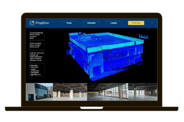
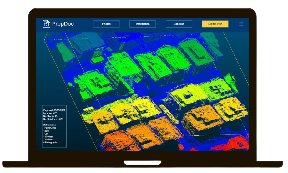
LiDAR
Using LiDAR technology, our Digital Surveyors capture millions of data points from each scan. We then process the data and deliver your assets digitally.
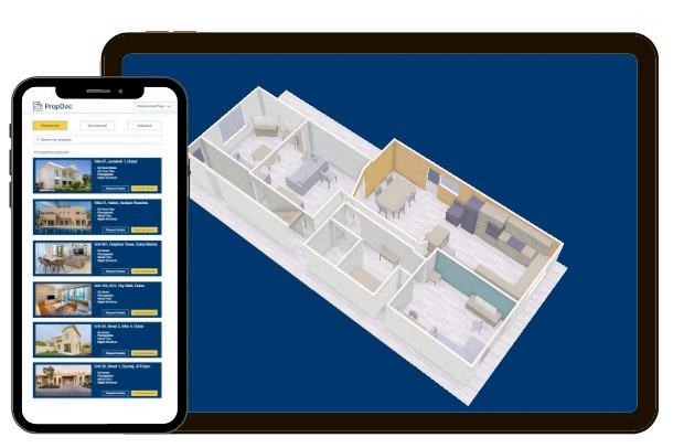
Photogrammetry
Think Google street view for properties. We capture a property using a range of devices for various applications including marketing photographs, virtual tours, progress reports and so more.

PropDoc Software
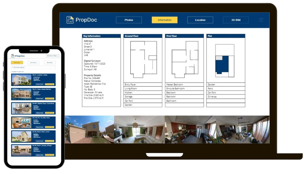
PropDoc brings properties online so you can access your portfolio from anywhere at anytime. Whether you have 1 property or 10,000 we can help.
A revolutionary process, PropDoc sets the standard for the region.
The process is broken into 3 keys steps:
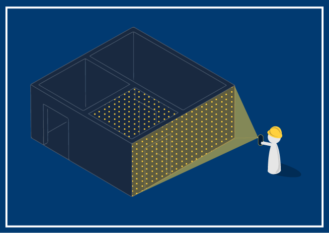
We scan the property

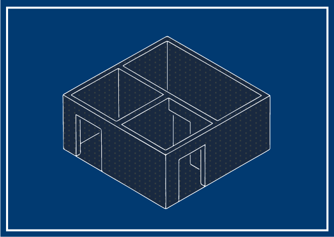
We process scanned data in 2D CAD & 3D BIM models

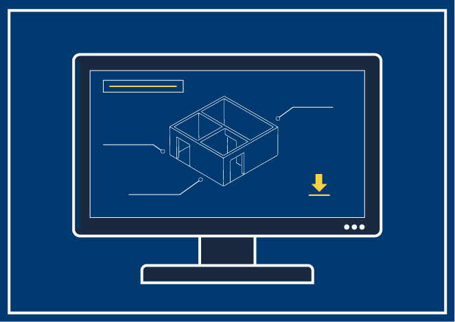
We digitally document & store your property data
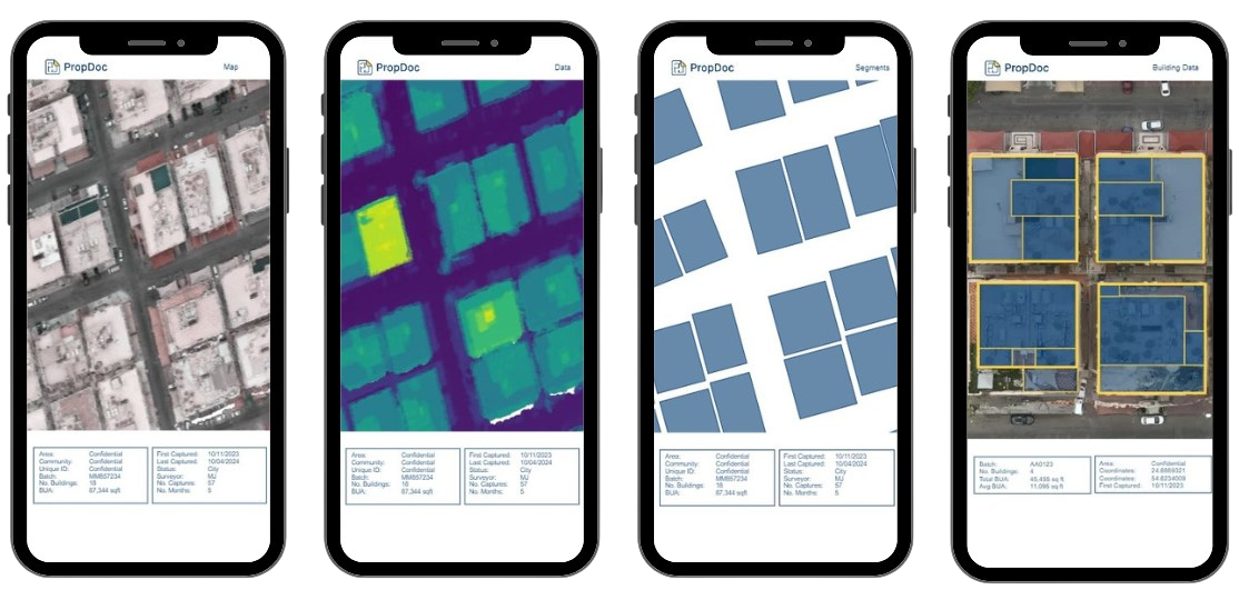
Calculate the built-up area of a city from an image in minutes.
Using computer vision and machine learning, we first segment and then identify each object. Our solution accurately takes each building’s boundary and floor plates to tell you plot & building sizes.
